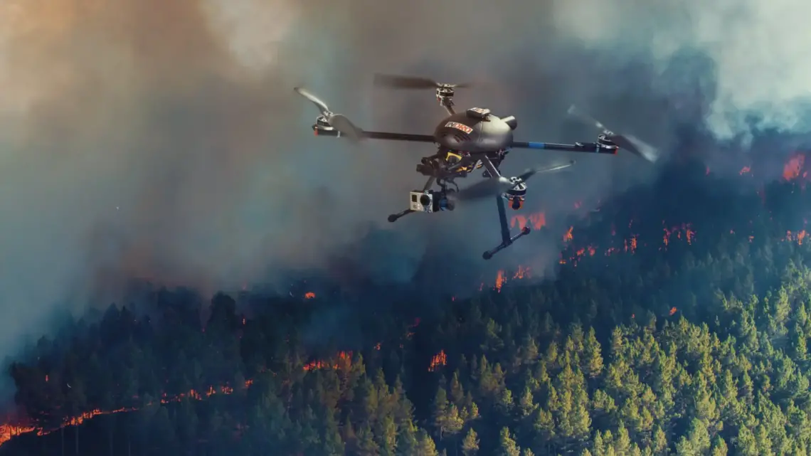
Kongsberg Geospatial recently announced a partnership with a Texas-based drone company which could see the pair bring a new generation of unmanned aerial vehicles to the Canadian market.
The Kanata North company’s flagship UAV software, known as the IRIS system, gives operators a clearer understanding of their aerial surroundings and allows them to fly beyond their visual line of sight by mapping out the terrain and warning of potential hazards such as trees, mountains or other aircrafts. MartinUAV’s technology enables autonomous vertical take-off and landing capabilities as well as a design built for endurance. Together, the systems complement one another, opening up new possibilities in UAV missions.
“(MartinUAV’s) technology truly is game-changing and will allow a wide variety of missions to be conducted by a single flexible platform,” said Kongsberg Geospatial president Ranald McGillis. “This is an ideal and complementary fit for our ground control station and mission management technology.”
The pair see potential in assisting groups such as the Canadian Special Operations Forces Command and the Royal Canadian Navy on missions using this new technology.
Read more about how Kongsberg Geospatial is breaking down the limits of existing drone technology in this 2019 feature published in the Kanata Networker.
